78 items


-
£50.07
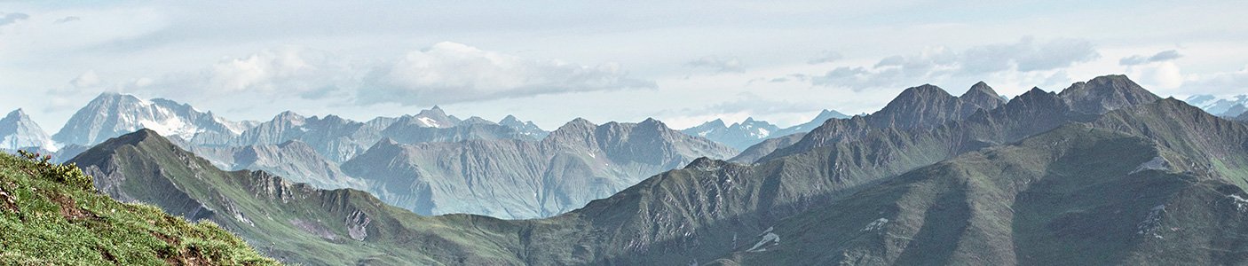
The Dénivelés Carte Des Pistes Portes Du Soleil Les Gets - Morzine - Avoriaz is a detailed 3D map of the region's ski resorts with their ski runs and lifts.
Colour


Loading...