78 items


-
£28.07
Exactly matching the dimensions of the 3D cards manufactured in Auvergne by the Dénivelés company, this frame is made of wood.
Colour


-
£28.07
Exactly matching the dimensions of the 3D cards manufactured in Auvergne by the Dénivelés company, this frame is made of wood.
Colour
-
£50.07
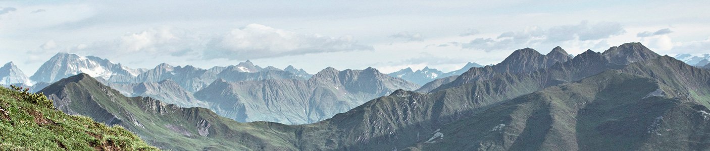
The 3D Des Pistes Portes Du Soleil Avoriaz Châtel Chapelle d'Abondance vertical drop map will help you learn all about the region's topography, ski slopes and lifts.
Colour


CUSTOM FEES
INCLUDED
INCLUDED
IN THE SHIPPING FEES
--------------------------------------------------------------------
EASY 100
DAY RETURNS
Fixed costs
DAY RETURNS
Fixed costs

-
Recommended price
£48.31
-25%
£36.17
-
Recommended price
£76.38
-15%
£64.24
Loading...